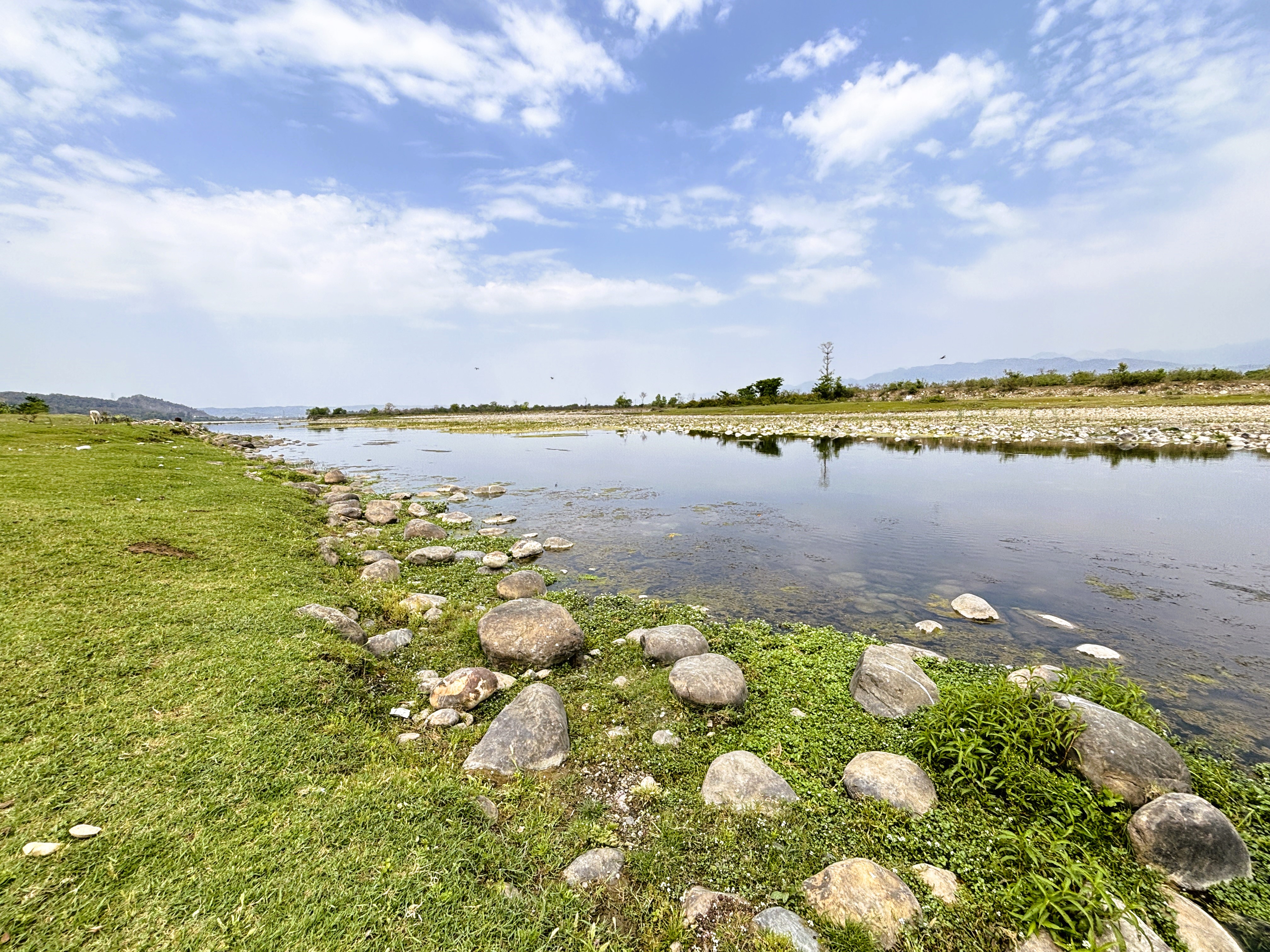
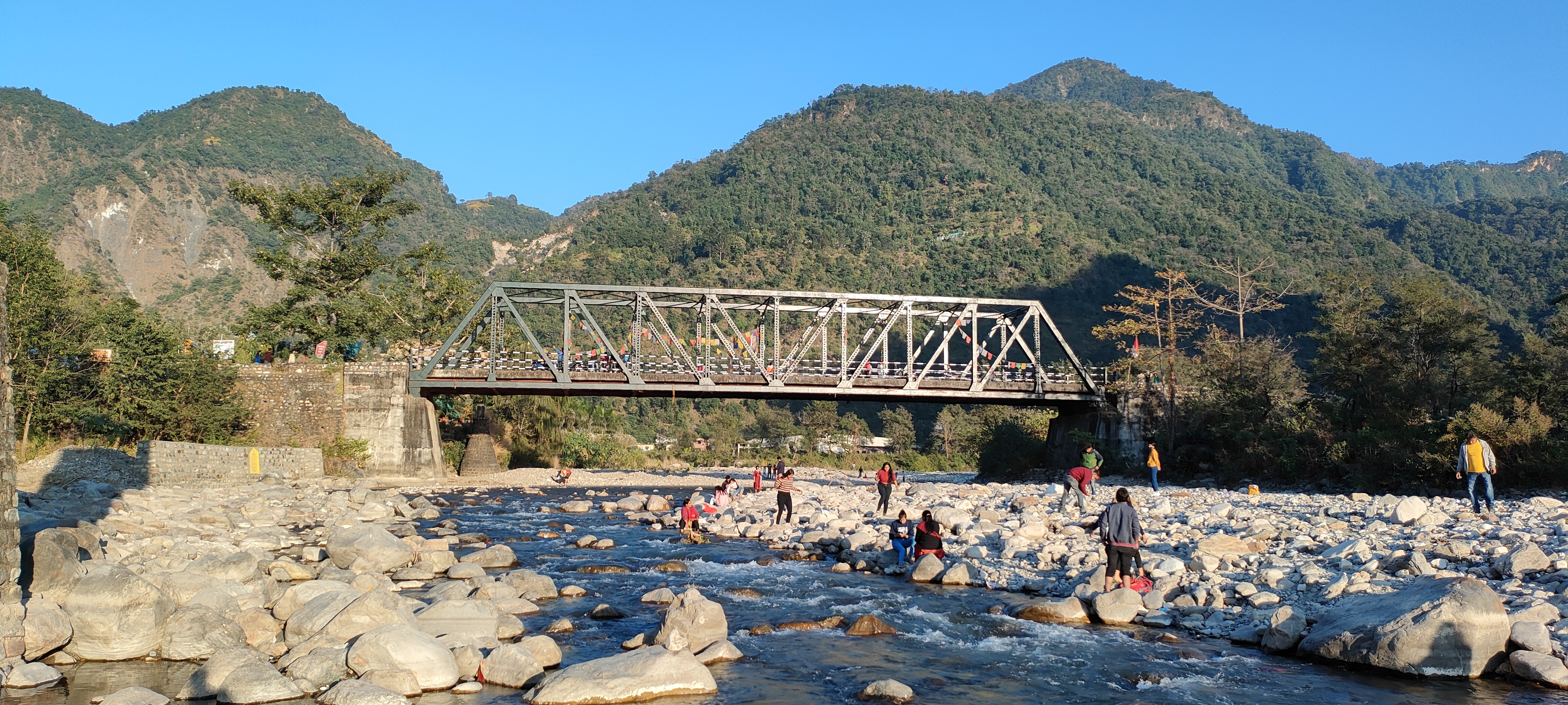
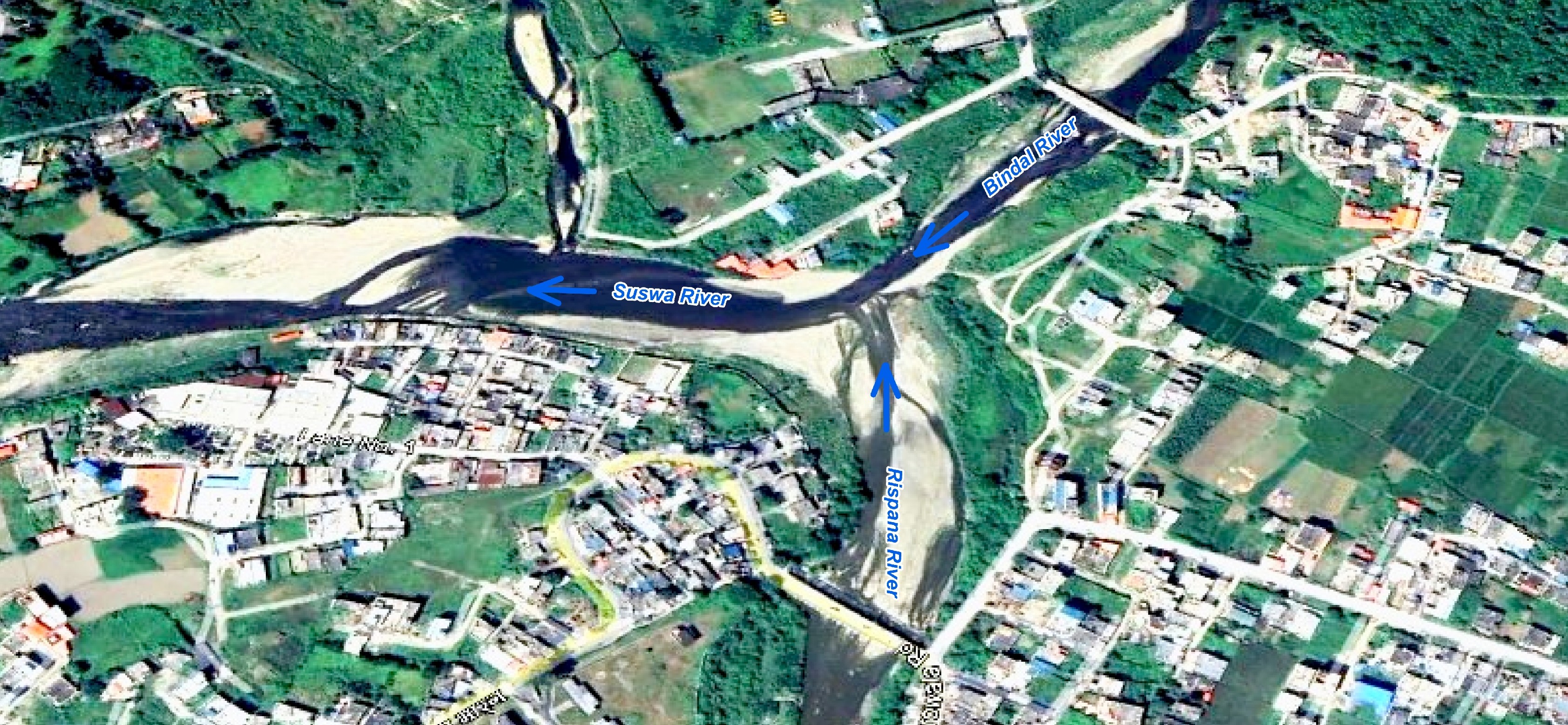
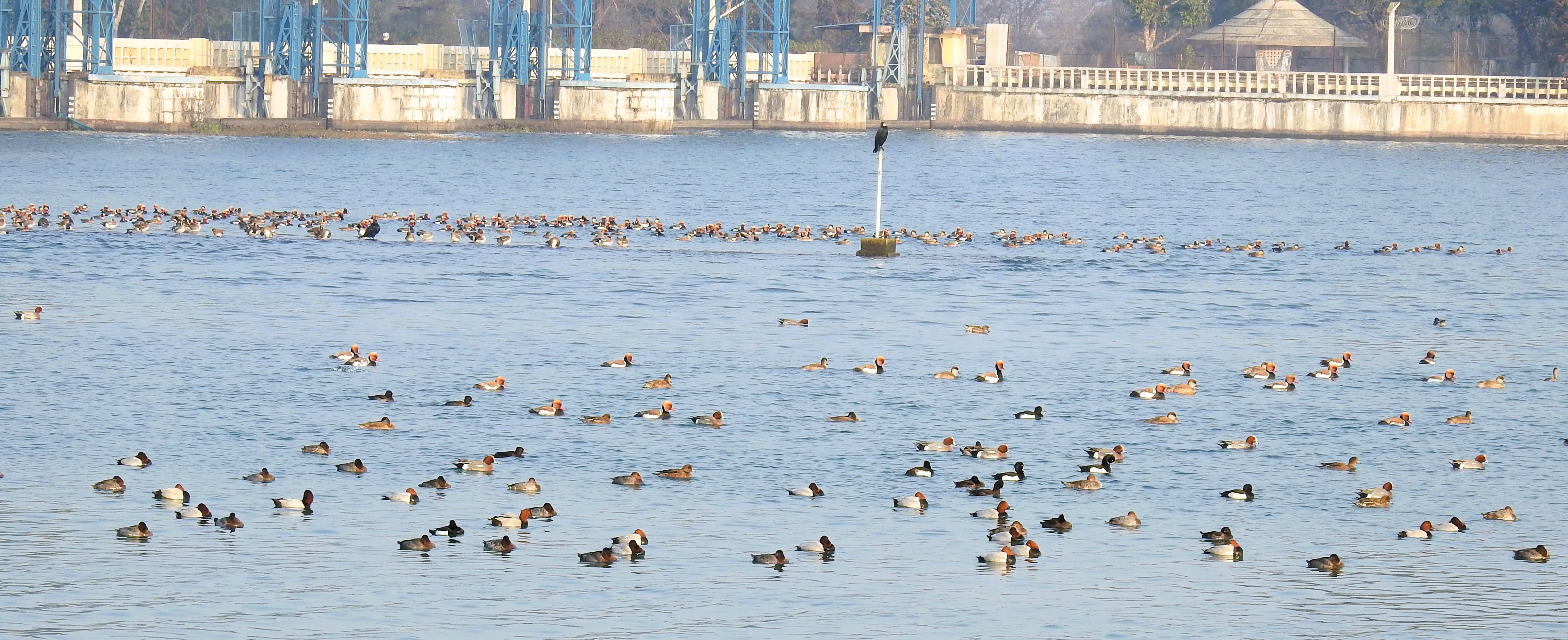
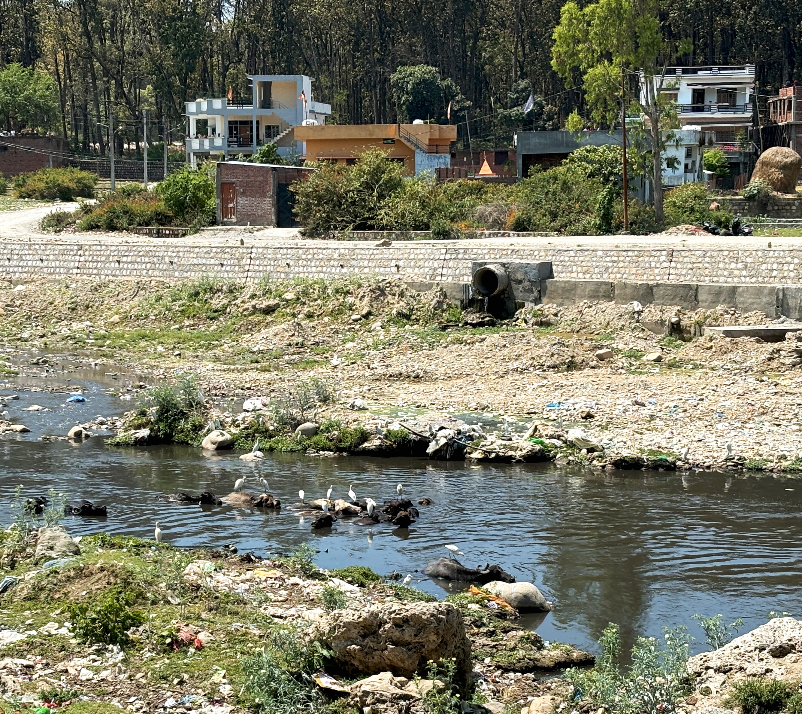
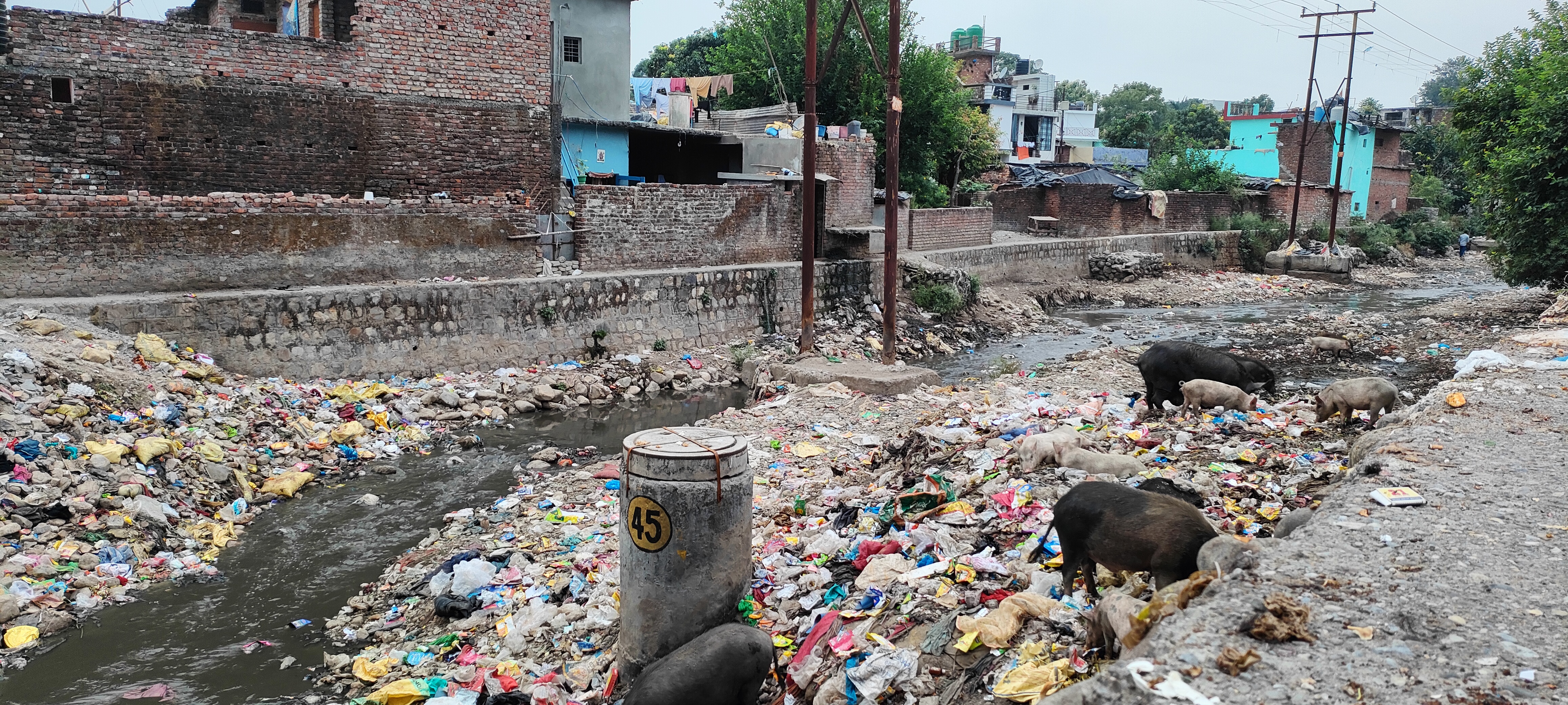
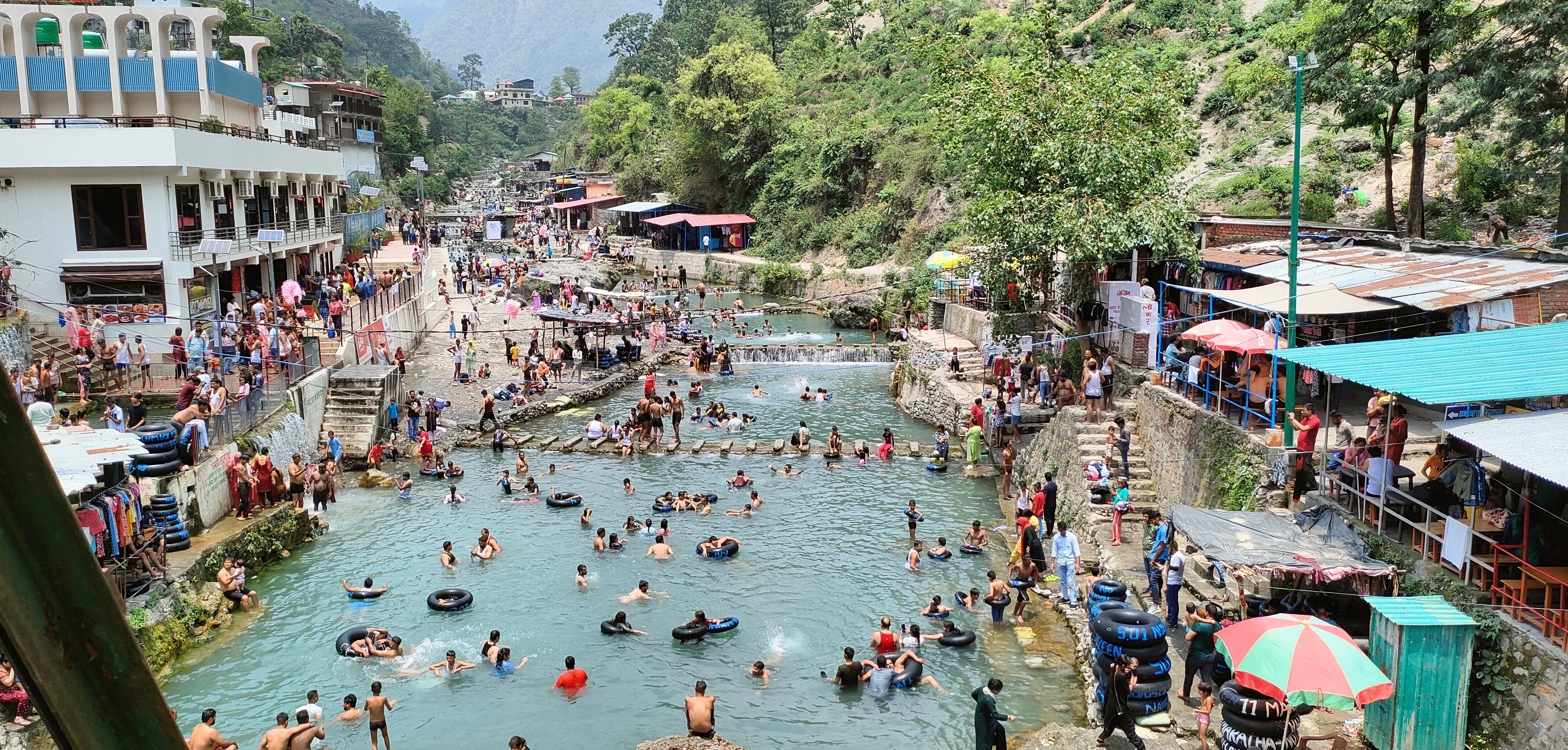
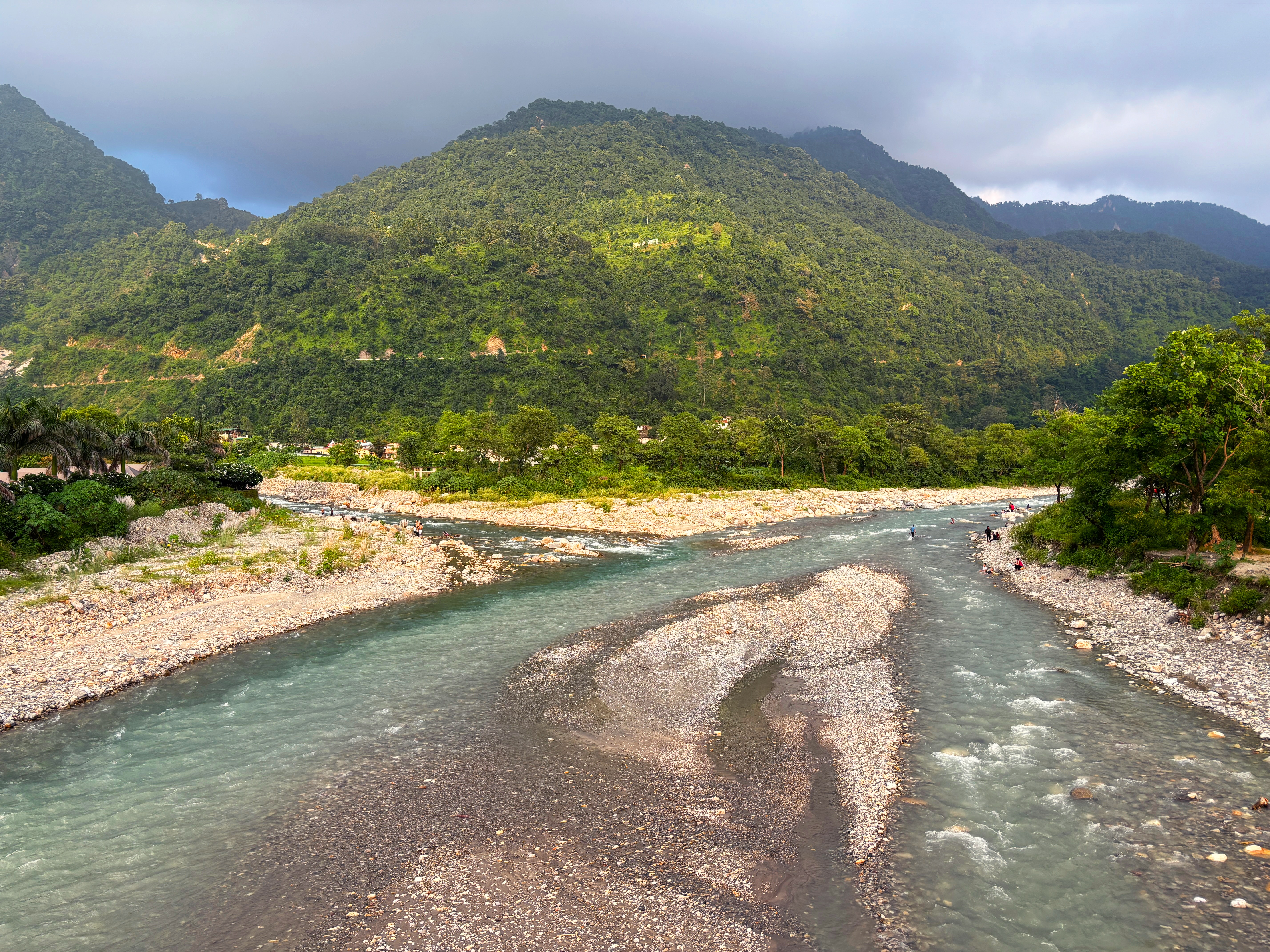
Geoportal for Real-world Information of Watersheds and Urban River Systems (Geo-RIWURS) is a cutting-edge digital platform developed to revolutionize the management and conservation of watersheds and urban river systems. By integrating Geographic Information Systems (GIS) with comprehensive topographic and environmental datasets, Geo-RIWURS empowers users with actionable insights to monitor, assess, and manage critical aspects of river systems. These include hydrology, topography, land use land cover (LULC), water quality, and watershed morphometry. Its utility is particularly vital in rapidly urbanizing landscapes, where rivers are increasingly vulnerable to pressures from infrastructure development, pollution, and climate change.
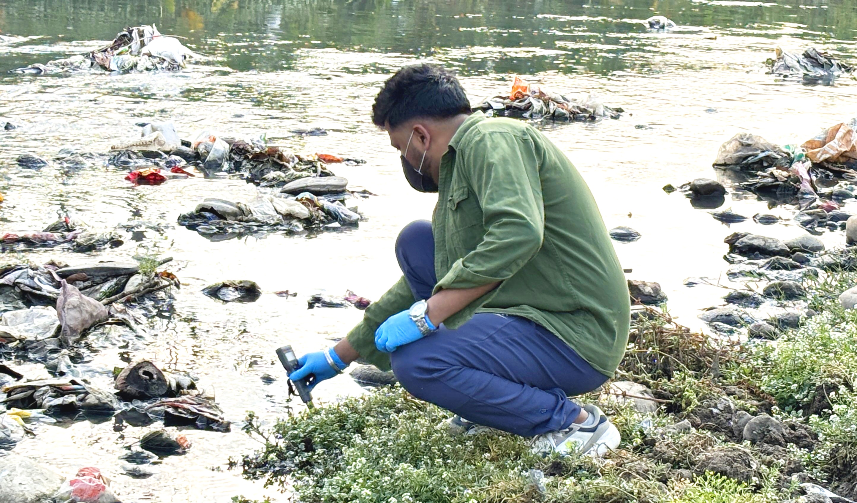
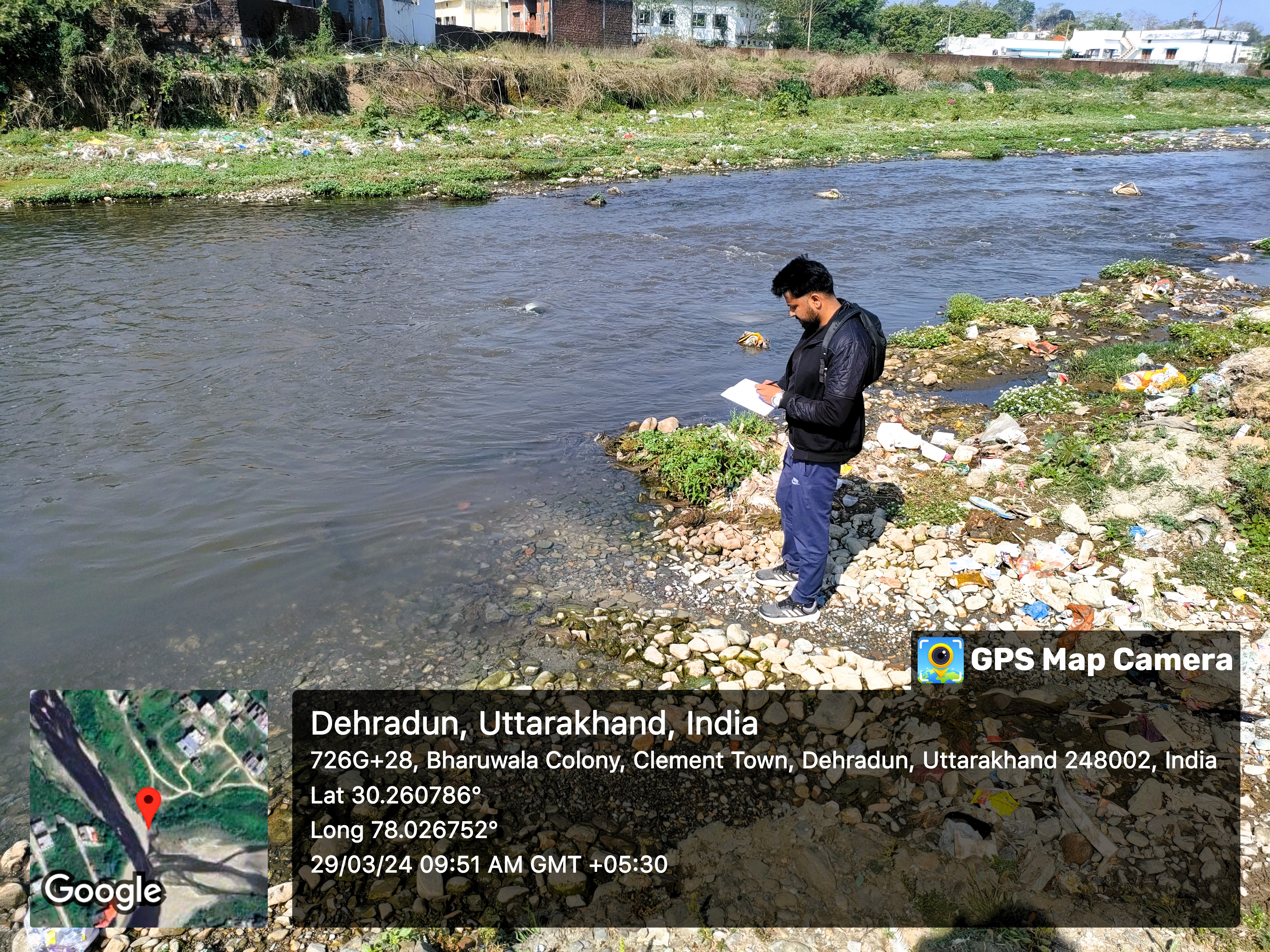
Geo-RIWURS offers robust access to an extensive geospatial database, facilitating a deeper understanding of riverscape dynamics and watershed behavior. Interactive dynamic maps allow stakeholders—including urban planners, researchers, and environmental managers—to visualize spatial distribution, identify ecologically sensitive or high-risk areas, and evaluate the cumulative impacts of anthropogenic activities. This enables the development of data-driven strategies for sustainable water resource management, ecological restoration, flood and landslide mitigation, and climate resilience. By fostering collaboration on a centralized platform, Geo-RIWURS promotes integrated and coordinated efforts toward sustaining urban river systems, ensuring long-term resilience for both natural habitats and human settlements.


Address:Ganga Aqualife Conservation Monitoring Centre, National Center for River Reserach, Wildlife Institute of India, Post Box #18, Chandrabani, Dehradun, Uttarakhand, India. Pincode: 248001 Contact Numbers: 0135-2646263, +91-9717623547 Emails: ruchi@wii.gov.in, hussainsyedainul@wii.gov.in, ashish10@wii.gov.in
Visits
This website is developed as part of a Ph.D. research objective
The following organizations are acknowledged
© Copyright is with the website owner