Watershed
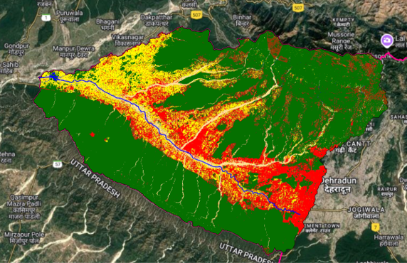
Geo-RIWURS (Watershed)

About Bindal Watershed

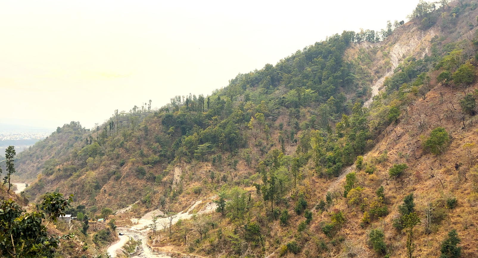
The Bindal watershed, located in the Doon Valley, Uttarakhand, covers 44.40 km² with elevations ranging from 575 m to 1039 m a.s.l. The Bindal River, 23 km long, originates from the Lesser Himalaya and merges with the Rispana River near Mothrowala to form the Suswa River. The region experiences 2000mm annual rainfall and temperatures ranging from 1°C to 44°C. Rapid urbanization and pollution significantly impact its hydrology, necessitating sustainable watershed management.

Salient features of Bindal Watershed

  • Dendritic drainage pattern and moderate relief influence hydrology, water retention, and urban watershed dynamics.
  • 40.36% of the area is built-up, increasing impervious surfaces, flood risks, and pressure on natural water systems.
  • Lower relief ratio (26.59) and compactness coefficient (1.92) indicate lower erosion and landslide vulnerability.

Environmental threats in Bindal Watershed

  • Bindal watershed spans urban and peri-urban areas, making it highly influenced by anthropogenic activities and land-use changes.
  • Prone to water pollution from sewage and industrial discharge, affecting water quality and aquatic biodiversity.
  • Hydrological alterations from urbanization impact river connectivity and overall watershed health.

 Bindal Watershed Geoportal