Watershed
Geo-RIWURS (Watershed)

About Rispana Watershed

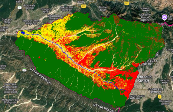
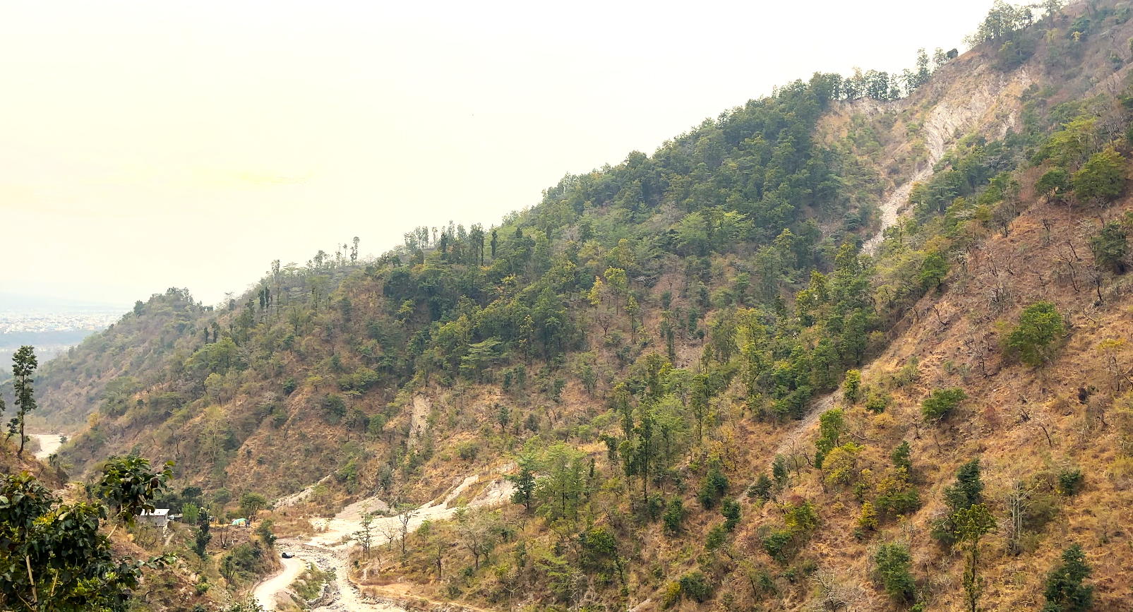
The Rispana watershed, situated in Uttarakhand's Doon Valley, spans 58.09 km², with elevations ranging from 573 m to 2276 m a.s.l. The 27 km-long Rispana River originates from Lal Tibba Peak in the Lesser Himalaya, flowing through small hamlets namely Rajpur, Nalapani, Defence Colony, and Ajabpur before merging with the Bindal River near Mothrowala to form the Suswa River. Rapid urbanization, deforestation, and pollution pose significant threats to its ecological health, emphasizing the urgent need for effective watershed management to ensure long-term sustainability.

Salient features of Rispana Watershed

  • Rispana Watershed exhibits an elongated shape with a dendritic drainage pattern, influencing hydrology and water flow.
  • Rispana Watershed has a high relief ratio (69.84) and compactness coefficient (2.42), increasing erosion risks.
  • Built-up is the second dominant class (26.83%), leading to urban flooding and ecological degradation.
  • As per NIH Roorkee report (2019), springs from Agehill, Mossyfall, Jharipani fall, and Shikhar fall once fed Rispana year-round, but it's now perennial only up to Shikhar Fall.

Environmental threats in Rispana Watershed

  • Rapid urban in the watershed expansion reduces natural vegetation, increasing runoff and flood risks.
  • Industrial, sewage, and plastic waste pollute water, harming aquatic ecosystems in the watershed.
  • Deforestation and steep slopes in the foothills increase landslides and soil erosion.
  • Altered rainfall patterns and rising temperatures exacerbate watershed degradation.

 Rispana Watershed Geoportal