Watershed
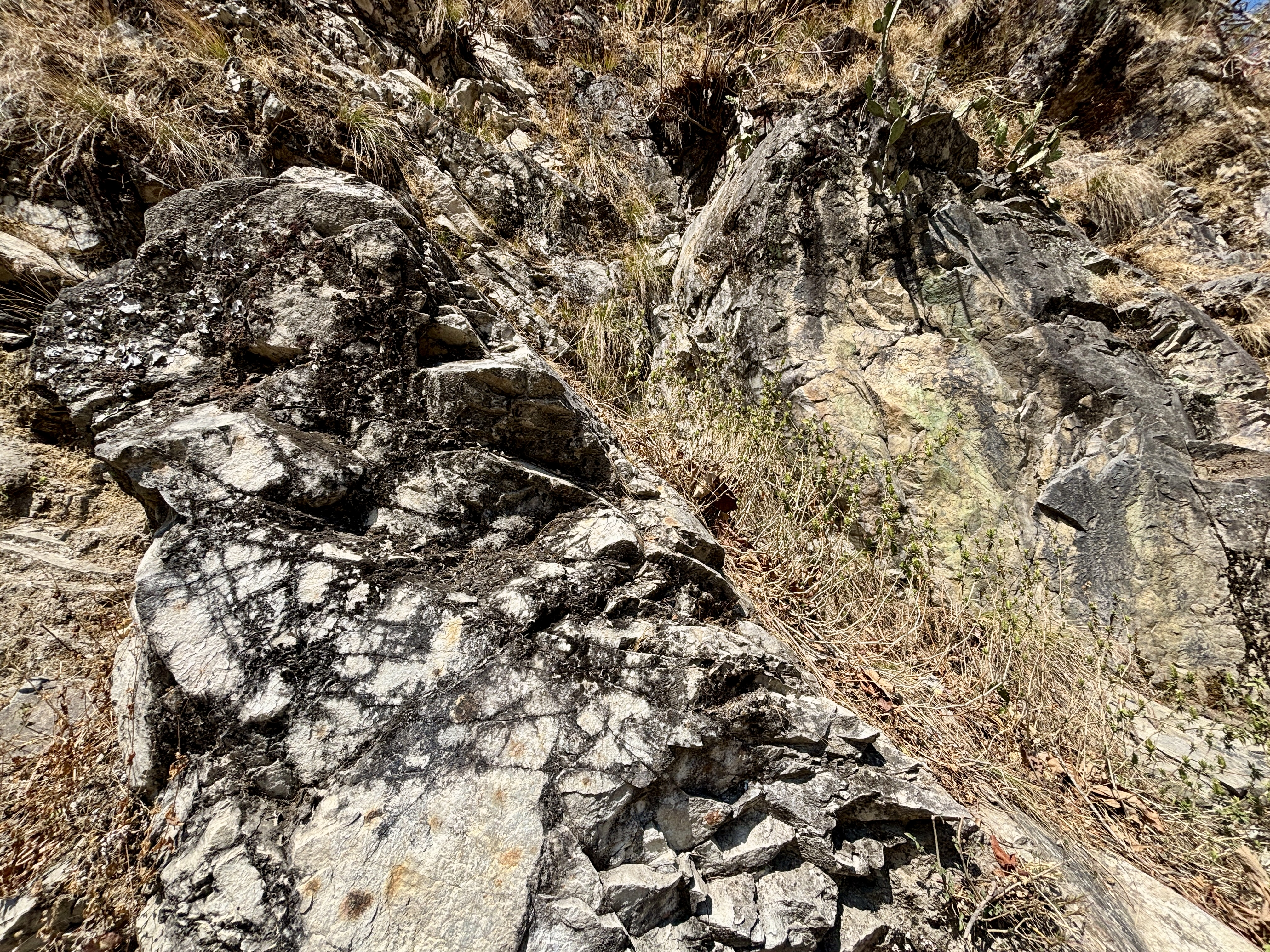
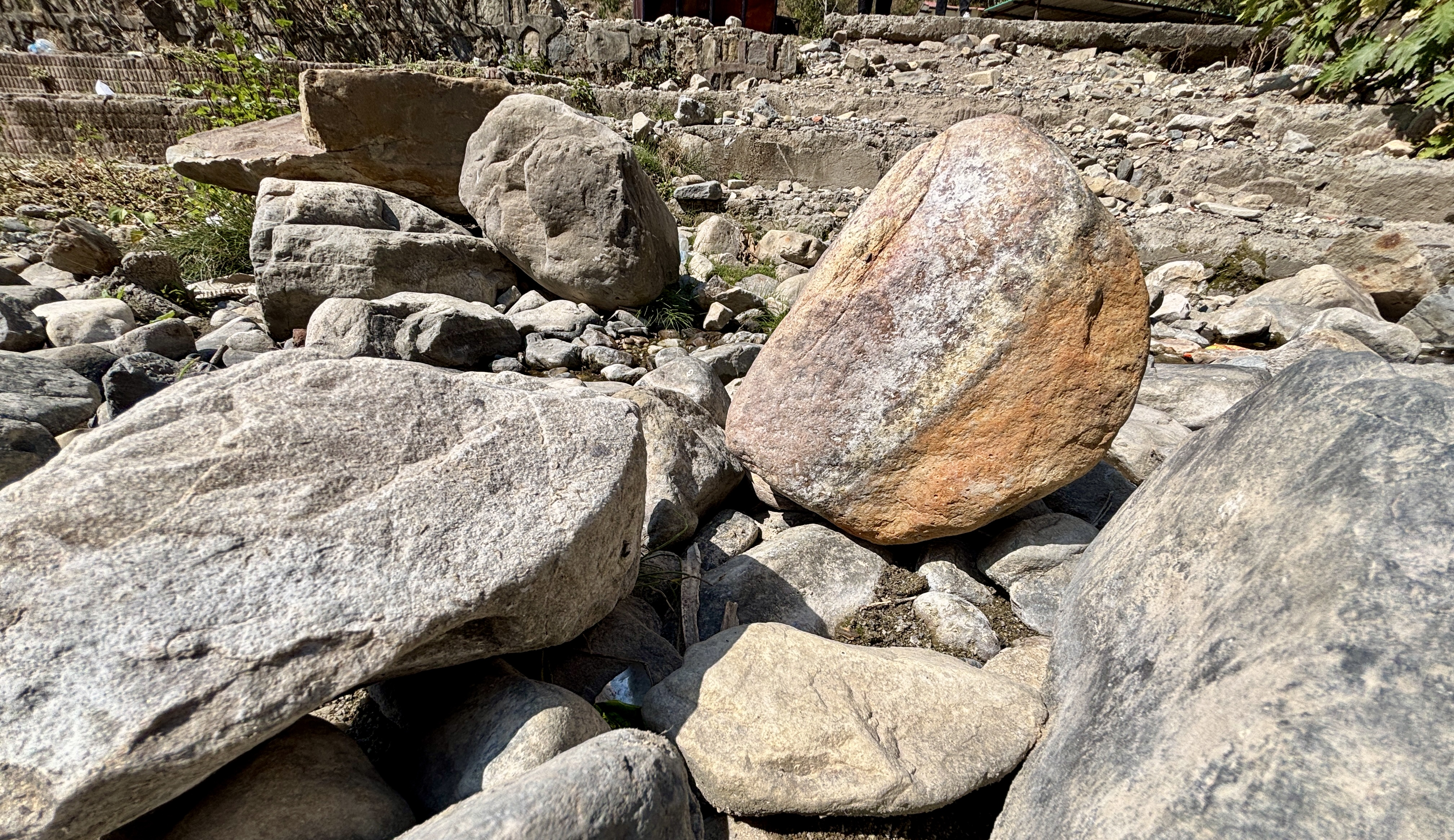
Geo-RIWURS (Watershed)

About Song Watershed

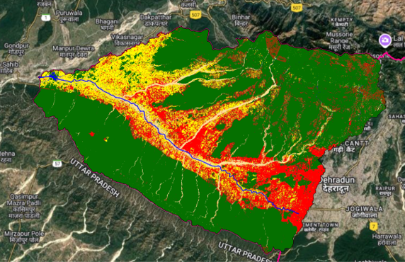
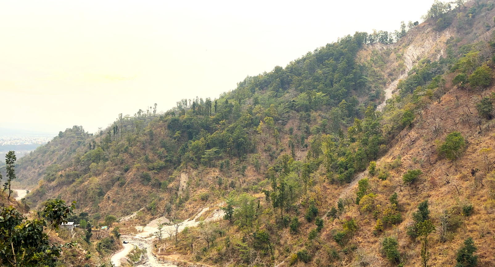
The Song Watershed, located in the eastern Doon Valley, Uttarakhand, spans 1040.49 km², with elevations ranging from 303 m to 2764 m a.s.l. While its western section is urbanized, the eastern region features rugged terrain. The 80 km-long Song River originates near the Surkanda Devi temple in the Dhanaulti ranges and is fed by tributaries such as Bandal, Baldi, Suswa, and Jakhan Rao before draining into the Ganga River at Tehri Farms. The upper watershed, consisting of formations like Krol, Chandpur, and Nagthat, is highly landslide-prone, whereas the lower sections comprise alluvium and Shiwalik formations. The region faces environmental threats such as sand mining, cloudbursts, overtourism, landslides, and river pollution.

Salient features of Song Watershed

  • The Song Watershed exhibits dendritic and parallel drainage patterns, with stream orders ranging from 1st to 7th.
  • The watershed has high relief and less elongated shape making it highly susceptible to landslides and erosion.
  • The Main Boundary Thrust (MBT) passes through the watershed, increasing its geological instability.
  • Forest dominates (75.57%), while agricultural land (8.71%) and built-up areas (6.72%) contribute to landscape changes.
  • The 15 km stretch of the Song River passes through the Rajaji National Park.

Environmental threats in Song Watershed

  • The Song Watershed’s upper section having unstable geological formations make it highly prone to landslides.
  • Excessive extraction of sand from riverbeds disrupts the natural flow, leading to habitat loss and increased erosion.
  • Cloudbursts and erratic rainfall patterns increase the risk of flash floods, soil erosion, and hydrological imbalance.
  • The planned dam on the Song River threatens biodiversity, disrupts the drainage network, and alters ecological balance.
  • Rapid urban growth leads to deforestation and habitat destruction on natural water resources.

 Song Watershed Geoportal