Watershed
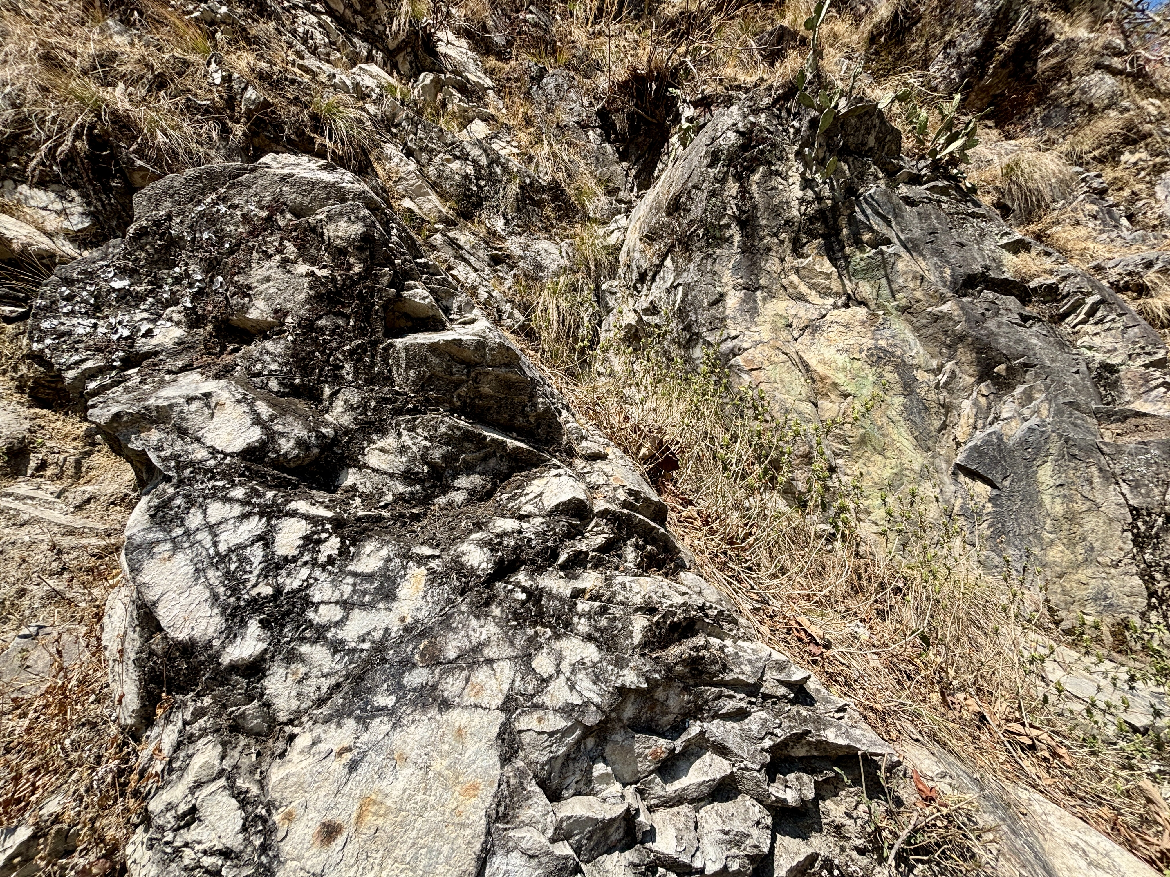
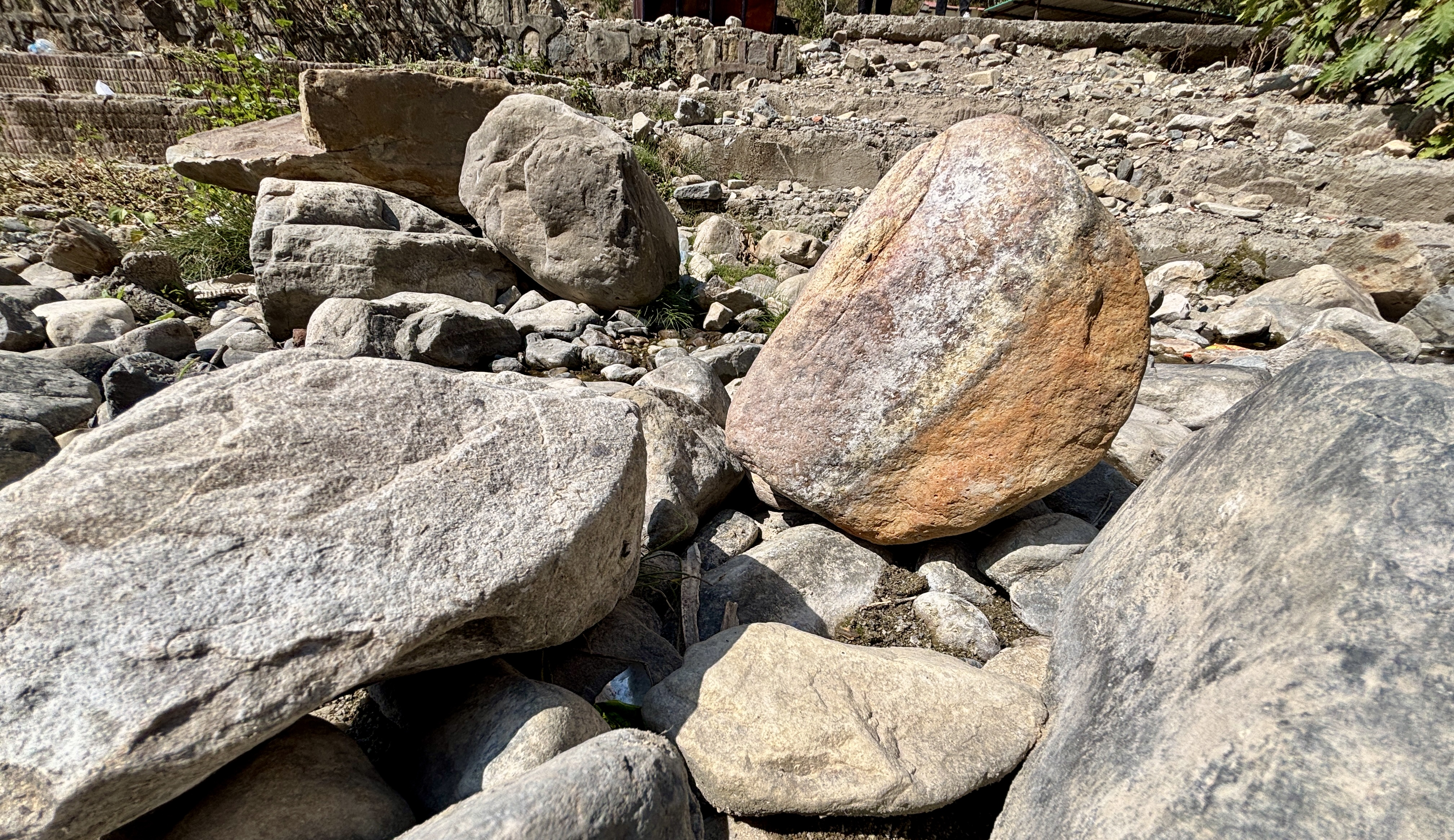
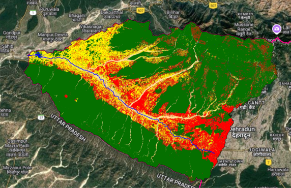
Geo-RIWURS (Watershed)

About Suswa Watershed

The Suswa Watershed, centrally located in Dehradun, Uttarakhand, spans 310.98 km² with elevations ranging from 405 m to 2278 m. Originating from the lower Mussoorie ranges, it is primarily fed by the Rispana and Bindal Rivers, which merge to form the 21 km-long Suswa River. This river then joins the Song River before ultimately draining into the Ganga. The watershed's upper half covers Dehradun's core city area, while the lower half extends into the outer urban region. It serves as a major drainage channel for the city, making it vital for urban hydrology and water management.

Salient features of Suswa Watershed

  • The Suswa Watershed exhibits a sub-dendritic to dendritic drainage pattern, influencing surface water flow and infiltration.
  • The average drainage density of the watershed is 2.84 km/km², indicating moderate surface runoff potential.
  • The Suswa River stretches for 13 km along the boundary of the Kansrao and Motichur ranges in the Rajaji National Park.

Environmental threats in Suswa Watershed

  • Rapid urban expansion leads to increased municipal and industrial waste discharge, degrading water quality in the Suswa Watershed.
  • Excessive extraction of sand from riverbeds disturbs aquatic ecosystems and accelerates erosion in the watershed.
  • Encroachment and land-use alterations reduce vegetation cover, impacting soil stability and groundwater recharge.

 Suswa Watershed Geoportal