Bootstrap Header with Logos
Geo-RIWURS (Riverscape)

About Doon Valley Riverscape

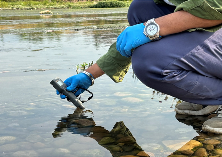
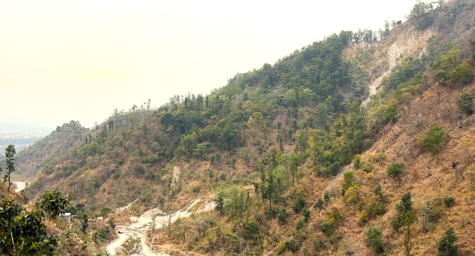
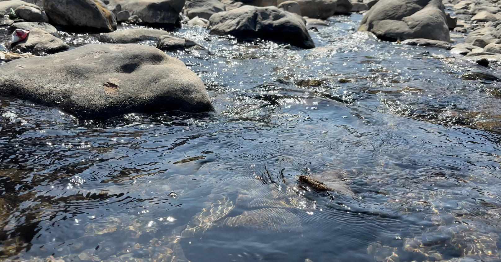
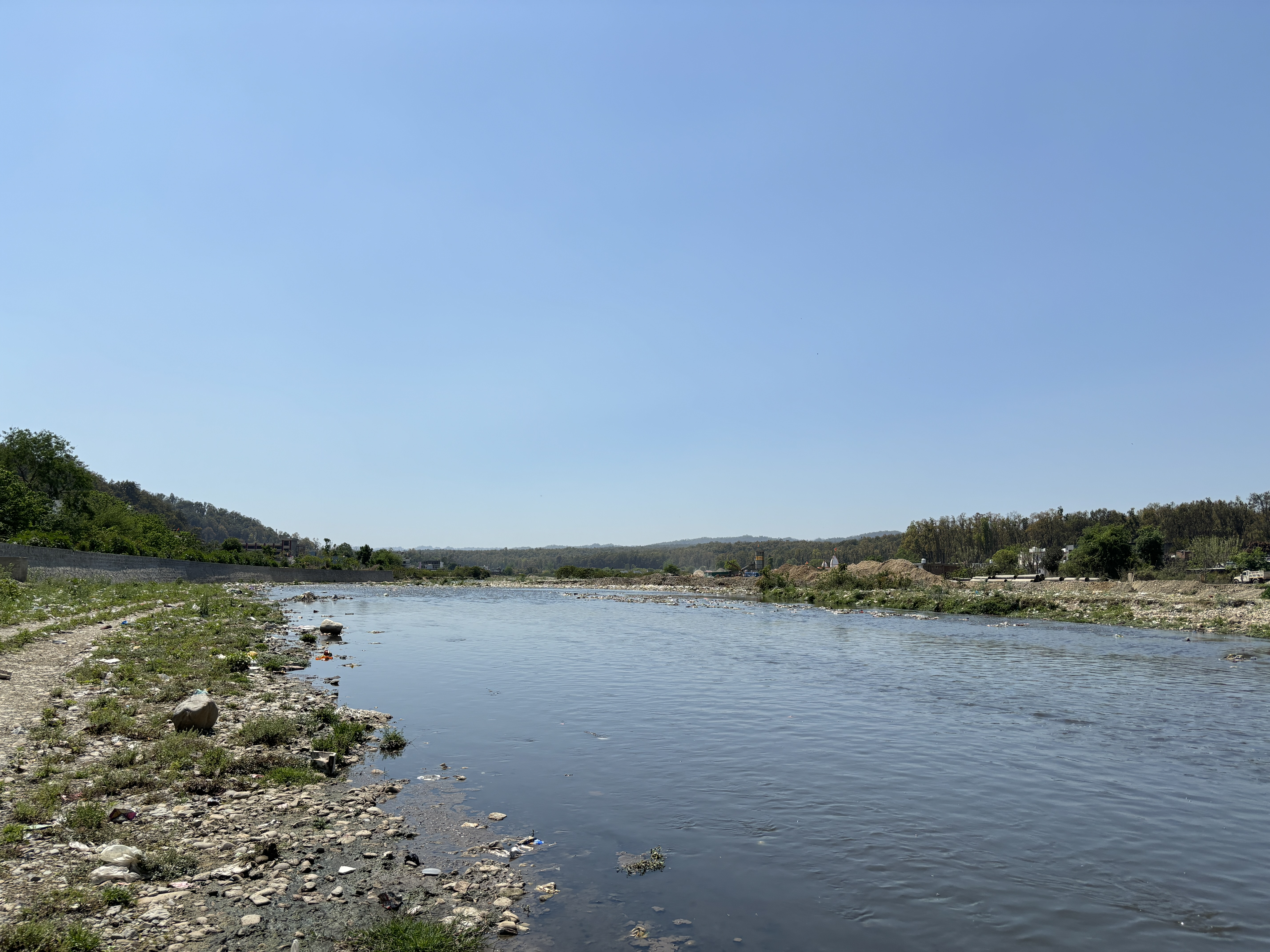
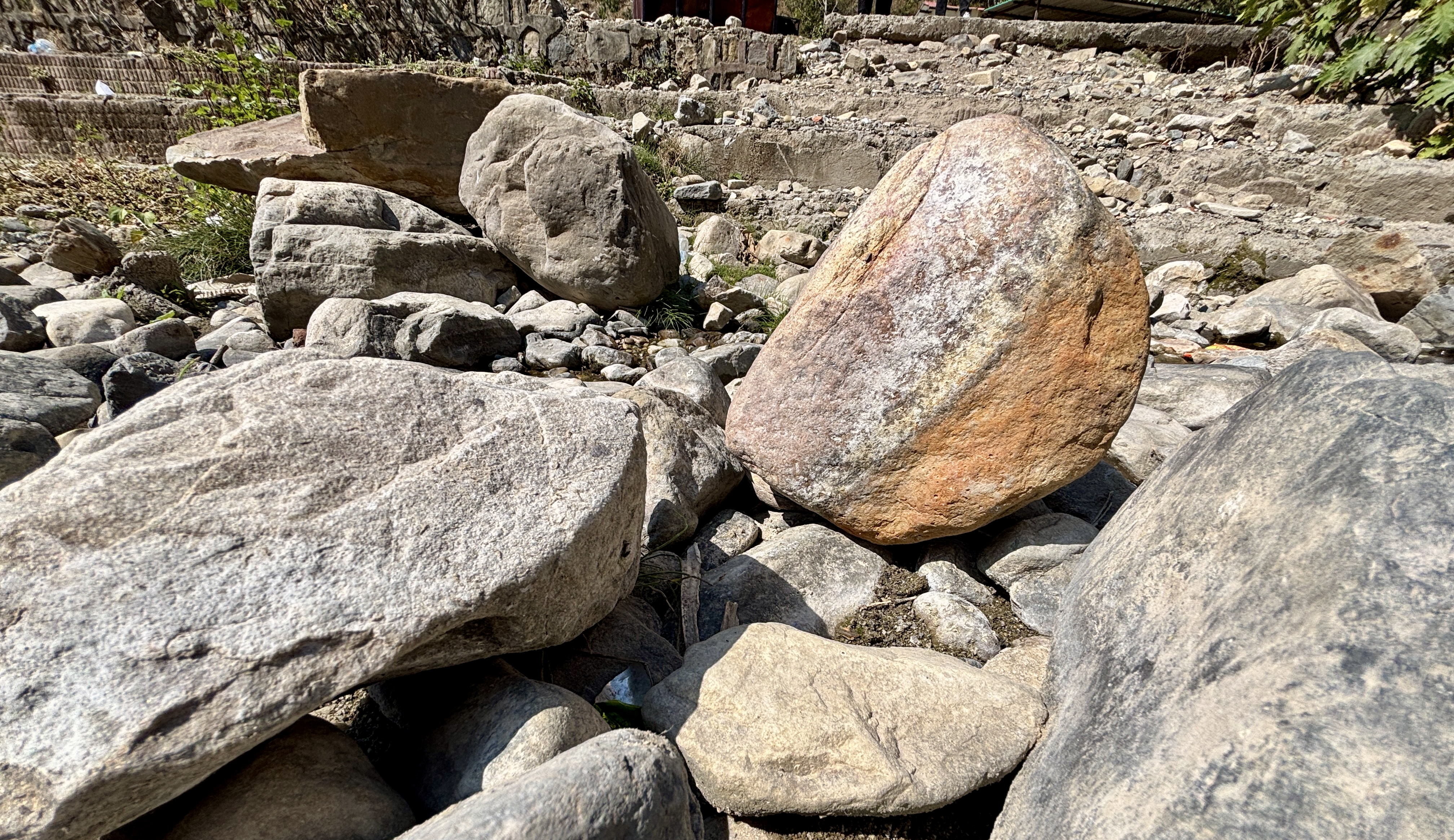
The Doon Valley riverscape, encompassing both natural and aesthetic features of its rivers and surroundings, reflects a dynamic ecosystem shaped by longitudinal changes from source to mouth, vertical interactions with aquifers, and lateral exchanges across floodplains. This diverse landscape includes river channels, dry riverbeds, vegetation, landforms, and human-made structures. Covering an area of 80.63 km², the research focuses on five major rivers selected within the Doon Valley—Asan (~40 km), Bindal (~23 km), Rispana (~27 km), Song (~80 km), and Suswa (~21 km), representing a blend of urbanized and natural environments that underscore the region’s ecological and aesthetic significance.

Salient features of Riverscape

  • Over 56% of riverscape area in Doon Valley face high to very high environmental and anthropogenic risk pressures.
  • Picturesque rivers, lush forests, and breathtaking mountain backdrops.
  • The region is home to diverse flora, fauna, and rich aquatic ecosystems, supporting high ecological and biodiversity value.
  • Supports groundwater recharge, sustains agricultural productivity, and strengthens local livelihoods by ensuring the availability of essential water resources.

Environmental threats in Riverscape

  • Urbanization and land-use changes increase pollution, altering river hydrology and degrading water quality.
  • Deforestation and agricultural expansion accelerate soil erosion, runoff, and contamination risks.
  • Inefficient sewage management leads to high TDS, conductivity, and reduced dissolved oxygen, harming aquatic biodiversity.
  • Climate and topographical factors significantly influence flooding patterns, soil infiltration rates, and the potential for long-term groundwater contamination.

 Doon Valley Riverscape Geoportal