Watershed
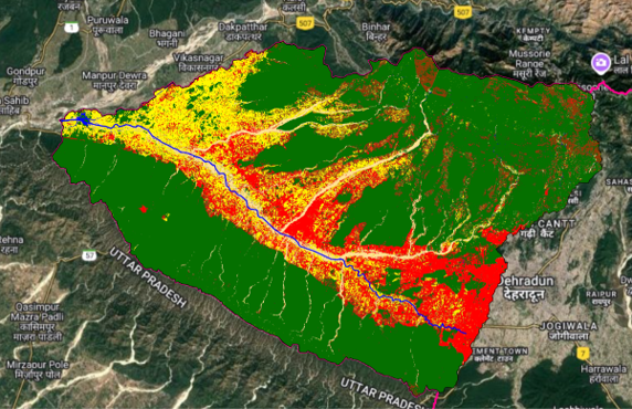
Geo-RIWURS (Watershed)

About Doon Valley

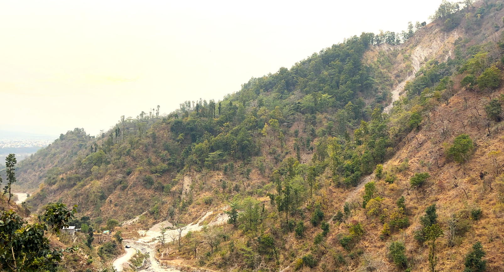
Doon Valley, nestled between the Lesser Himalaya and Shiwalik ranges in Uttarakhand, India, covers 1741.64 km². It is drained by the Asan (701.15 km²) and Song (1040.49 km²) watersheds, with major rivers like Asan, Bindal, Rispana, Song and Suswa. The valley has a subtropical climate, with temperatures ranging from -3°C to 45°C and an annual rainfall of 2000 mm. Elevations vary from 303 m to 2764 m. Home to Dehradun, Mussoorie, and Rishikesh, it is a significant cultural and economic center. Sustainable land and water management are crucial for maintaining its ecological balance amid rapid urbanization and climatic changes.

Salient features of Doon Valley

  • Doon Valley is drained by the Song and Asan rivers, which merge into the Ganga and Yamuna rivers, respectively.
  • Its Geology includes Doon Gravels, Shiwalik formations, alluvium, sandstones, and limestones.
  • Extreme precipitation events, such as in 2013 and 2020, have led to devastating floods and landslides, emphasizing the need for watershed management in the valley.
  • Valley's forests cover 61.54% as per FSI report (2019), supporting biodiversity, carbon sequestration, and hydrological balance.

Environmental threats in Doon Valley

  • Rapid urban expansion and poorly planned infrastructure degrade water quality and disrupt natural river ecosystems.
  • Unregulated waste disposal, untreated sewage discharge, and overuse of water resources degrade freshwater availability and quality.
  • Water extraction, illegal sand mining and agricultural encroachment on riverbeds alter natural flow patterns, affecting hydrological stability.
  • Landslides in Doon Valley, triggered by deforestation, heavy rainfall, cloudbourst, and unplanned construction, threaten infrastructure, disrupt ecosystems, and decrease land stability.

 Doon Valley Geoportal

Link of Individual Watersheds in the Doon Valley

Asan

Bindal

Rispana

Song

Suswa